Projects 2026 live
havasaha
A map of where drones may and may not fly in Türkiye, with SHGM zones, temporary NOTAM restrictions, 3D terrain and the day's sun times. It is free and needs no account.
Svelte 5, MapLibre, Cloudflare

havasaha ("airspace") is a map of where a drone may and may not fly in Türkiye. It does the planning I used to do by hand before every flight for the Dronosfer channel.
It shows the zones published by SHGM, the civil aviation authority, with no-fly zones in red and permitted zones in green. Temporary NOTAM restrictions, 3D terrain and the sun times for the day are on the same map. You can search more than sixty thousand Turkish place names as you type. It is free to use and needs no account.
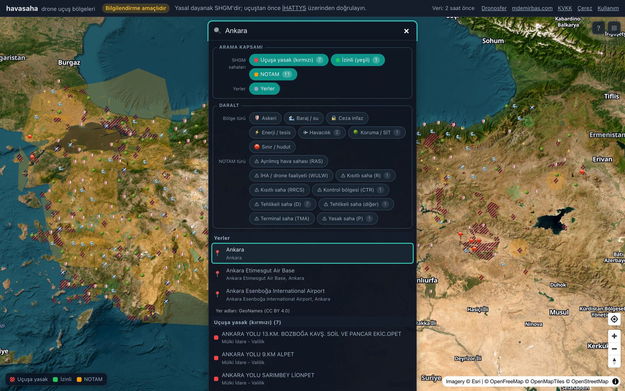
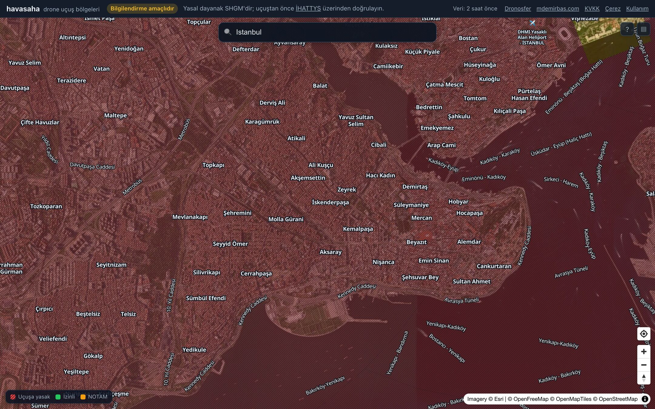
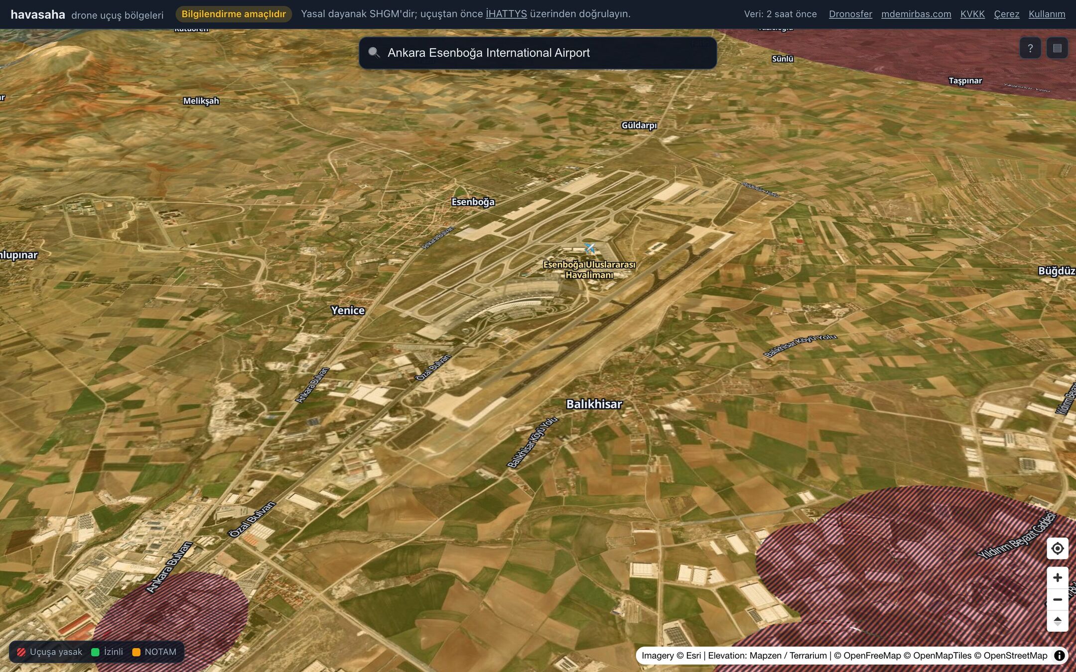
The zone geometry is baked ahead of time instead of being proxied from the source on each request. A scheduled job pulls the source data, converts it, and publishes versioned snapshots and vector tiles to object storage. That way a public site does not put its traffic on the ArcGIS server that SHGM's own map reads from. Every layer on the page shows the time of the bake its data came from.
The app is written in Svelte 5 with MapLibre and runs on Cloudflare. Its planning code is shared with my DJI telemetry player rather than copied into each project.
The map is for information only. The legal source is SHGM, and a notice on the page says so on every visit.